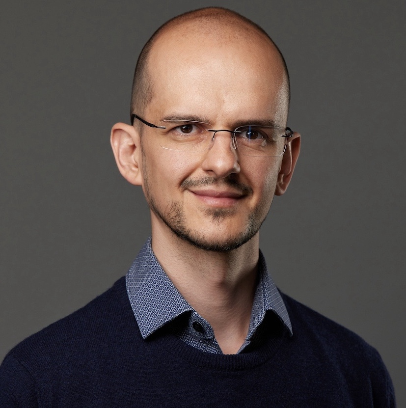
Robert Fonod, PhD
Engineer & researcher working at the intersection of guidance, navigation & control, computer vision, and machine learning.
About
I enjoy solving hard technical problems with practical impact, especially where data, algorithms, and dynamic systems meet. My work spans academia and industry: from spacecraft autonomy, air-defense guidance, and fault-tolerant control, through drone-based urban traffic monitoring, to real-time embedded AI on aerial platforms.
I hold a PhD in automatic control, signal & image processing from the University of Bordeaux and a Master of Computer Science in data science from the University of Illinois Urbana-Champaign. I like bridging model-based domain expertise with data-driven methods, and seeing the result run on real hardware.
- IEEE Senior Member
- 2× Associate Editor, IEEE TAES & Frontiers
- 2× Best Paper Awards
- 2× Excellent Reviewer
- Dutch University Teaching Qualification
- PRINCE2 & AgilePM
Experience
-
2025 – presentSenseFly, now EagleNXT · GNC and CV/ML EngineerReal-time computer vision and machine learning (PyTorch) for object detection and tracking in EO/IR drone imagery; AI on edge accelerators and autopilot firmware. Cheseaux-sur-Lausanne, CH.
-
2022 – 2025EPFL · Research Associate, Urban Transport Systems LaboratoryComputer vision and ML for extracting georeferenced vehicle trajectories from drone video; co-supervised PhD research on vehicle re-identification and traffic forecasting; co-designed a 10-drone data collection experiment in South Korea. Lausanne, CH.
-
2021 – 2022Sabbatical · Full-time graduate studies, University of Illinois Urbana-ChampaignCompleted the Master of Computer Science in Data Science full-time (see Education below).
-
2020French-German Research Institute of Saint-Louis (ISL) · Research ScientistThree-dimensional guidance for guided projectiles; UAV swarm concept roadmapping. Saint-Louis, FR.
-
2017 – 2019TU Delft · Research & Teaching Staff, Space EngineeringSpacecraft GNC: detumbling control for TU Delft's first PocketQube; supervised PhD and MSc research including CNN-based pose estimation of uncooperative spacecraft. Delft, NL.
-
2015 – 2017Technion, Israel Institute of Technology · Postdoctoral ResearcherU.S. Air Force funded research on cooperative guidance and estimation for air-defense systems; estimation under heavy-tailed (Cauchy) noise. Haifa, IL.
-
2011 – 2014CNRS / University of Bordeaux · PhD ResearcherThruster fault diagnosis and fault-tolerant control for spacecraft rendezvous (Mars Sample Return), with research visits at ESA/ESTEC and Thales Alenia Space. Bordeaux, FR.
- 2021 Master of Computer Science in Data Science · University of Illinois Urbana-Champaign (GPA 4.0/4.0)
- 2014 PhD in Automatic Control, Signal & Image Processing · University of Bordeaux (with honors)
- 2011 MSc in Cybernetics · Technical University of Košice (with honors)
- 2009 BSc in Cybernetics · Technical University of Košice (with honors)
Research
Computer Vision & Machine Learning
Multiple object detection and tracking in drone imagery, georeferenced trajectory extraction, embedded AI on aerial edge hardware, and deep learning for traffic state estimation, forecasting, and vehicle re-identification.
All publications in this theme →Guidance, Navigation & Control
Cooperative guidance and estimation, ballistic 3D guidance design, nonlinear state Kalman and particle filtering in non-Gaussian (Cauchy) environments, and vision-based navigation and pose estimation for autonomous aerospace vehicles.
All publications in this theme →Fault Detection, Isolation & Recovery
Model-based robust fault detection and isolation, fault-tolerant control and control re-allocation for safety-critical systems, applied to spacecraft rendezvous in the Mars Sample Return mission context.
All publications in this theme →Research conducted within projects funded by ESA, the U.S. Air Force, NSF, SNSF, Innosuisse, the ETH Board, and the U.S.–Israel Binational Science Foundation, in collaboration with industry partners including Thales Alenia Space and Airbus Defence & Space.
Full list on the publications page or on Google Scholar.
Software & Data
geo-trax
End-to-end framework for extracting stabilized, georeferenced vehicle trajectories and kinematics from drone video; the pipeline behind the Songdo datasets.
stabilo
Video and object-trajectory stabilization library built on feature matching and robust homography estimation with a custom reference-frame strategy; core component of geo-trax.
stabilo-optimize
Companion tool for stabilo: benchmarks and tunes stabilization accuracy against runtime performance via hyperparameter optimization.
hbb2obb
SAM-assisted conversion of horizontal (axis-aligned) bounding-box annotations into oriented bounding boxes, with ensemble methods and evaluation tools.
deepsleep2
Compact U-Net-style CNN (~740K parameters) for millisecond-level sleep arousal segmentation from 13-channel polysomnographic recordings.
songdo-traffic
About 700,000 georeferenced vehicle trajectories from 20 intersections in Songdo, South Korea, captured by a swarm of 10 drones at ~30 Hz: positions, speeds, accelerations, dimensions, and lane assignments.
songdo-vision
5,419 annotated 4K drone frames with ~272,000 vehicle instances (car, bus, truck, motorcycle) in COCO, YOLO, and Pascal VOC formats; companion detection benchmark to songdo-traffic.
More projects on GitHub and Hugging Face →
Awards & Recognition
- 2024 Open Research Data grant (30,000 CHF, principal investigator), ETH Board
- 2023 Best Paper Award, IEEE International Conference on Intelligent Transportation Systems (ITSC)
- 2023 Senior Member elevation, IEEE
- 2017 & 2022 Excellent Reviewer, Journal of Guidance, Control, and Dynamics, AIAA
- 2017 Outstanding Reviewer, Aerospace Science and Technology, Elsevier
- 2014 Best Student Paper Award, UKACC International Conference on Control
- 2013 Best Poster Award, Collegium Talentum Poster Contest, Budapest
- 2011 Dean's Prize for Academic Excellence, Technical University of Košice
Fellowships: Technion Postdoctoral Fellowship (2015–2017) · ESA Networking Partnering Initiative Fellowship (2011–2014) · Collegium Talentum Fellowship, Hungarian Academy of Sciences (2010–2013) · OeAD Fellowship, Austrian Agency for International Cooperation in Education and Research (2010)
Service
-
Associate Editor · IEEE Transactions on Aerospace and Electronic SystemsSince 2018 · handled 80+ manuscripts to date.
-
Associate Editor · Frontiers in Aerospace EngineeringSince 2025 (guest associate & review editor 2022–2025) · navigation, guidance & control and intelligent aerospace systems.
-
Reviewer300+ manuscripts for 40+ journals and 20+ conferences; Verified Peer Reviewer (Publons); see the Web of Science profile.
-
MentorIEEE AESS mentoring program and Web of Science Academy: guiding early-career researchers in research, writing, and peer review.
-
Founding Member, SKILL SocietySlovak-Israeli Scientific and Innovation Society, since 2017.
-
Data ChampionEPFL (2023–2025) and TU Delft (2018–2019): departmental liaison for FAIR and open research data practices; invited talk at the EPFL Library Lunch Talks, 2026 (slides).
-
Supervision & teachingSupervised or co-supervised 4 PhD and 10 MSc researchers (EPFL, TU Delft, Technion); lecturer for AE2111-II (Aerospace Design & Systems Engineering, ADCS) and AE4S10 (Microsat Engineering, FDIR) at TU Delft; coached the winning AE3200 Design Synthesis Exercise team (2017/2018); Dutch University Teaching Qualification; session chair at ECC 2016.
Publications
Peer-reviewed research across guidance, navigation & control, computer vision, machine learning, and fault-tolerant control, spanning 21 journal articles, 25 conference papers, and 5 theses & technical reports.
Also indexed on Google Scholar, Web of Science, and ORCID.